
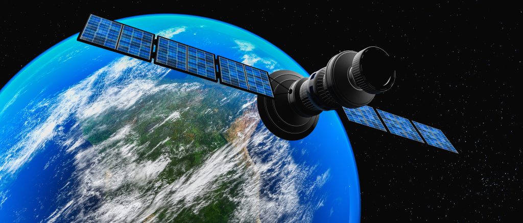
Technology is increasingly present in our lives, providing access to information and resources that were unthinkable a few decades ago. One of the areas in which technology has played a fundamental role is in viewing the Earth via satellite. Today, we can explore our planet and observe our own city from a whole new perspective, thanks to applications that use satellite images.
Whether for reasons of urban planning, tourism, education or pure curiosity, viewing your city via satellite has become a valuable tool. In this article, we will present the best applications to carry out this task in an effective and captivating way.
Check out the best apps to view your city via satellite
1. Google Earth
Google Earth is one of the most popular and widely known applications for satellite viewing. It offers high-resolution images of the entire planet and allows you to explore virtually anywhere in the world. Additionally, Google Earth offers additional features such as 3D visualization of historic sites, information about points of interest, and even a virtual travel mode to explore cities and landscapes in detail.
2. NASA Worldview
If you want access to satellite imagery updated in near real time, NASA Worldview is the ideal choice. This app allows you to track weather events, wildfires, air pollution, and more. It is a valuable tool for anyone who wants to stay up to date with Earth conditions and understand global changes.
3. Zoom Earth
Zoom Earth is another app that offers an impressive satellite Earth viewing experience. It provides high-resolution images and allows you to explore different dates to see how a location has changed over time. Additionally, it has a search function to easily locate specific cities, landmarks, and areas.
4. Bing Maps
Bing Maps, developed by Microsoft, offers a solid alternative to Google Earth. It features high-quality images and includes features like 3D visualization, Street View integration, and detailed information about local businesses. Bing Maps is a great option for anyone who wants a comprehensive map viewing platform.
5. Mapbox
Mapbox is an interesting choice for developers and enthusiasts who want to create custom satellite view applications. It provides access to a vast set of geospatial data and enables the creation of highly personalized interactive maps. Mapbox is a powerful tool for creating personalized map viewing experiences.
6. Satellite Tracker – NORAD
If you are interested in tracking satellites in orbit around the Earth, the NORAD Satellite Tracker is the right choice. It provides detailed information about the location and trajectory of artificial satellites in real time. This can be especially fascinating for astronomy and space technology enthusiasts.
Conclusion
Viewing your city via satellite has become more accessible than ever, thanks to technological advances and available apps. From Google Earth, which offers a complete, feature-rich experience, to Mapbox, which lets you create your own custom visualizations, there are a variety of options to suit everyone's needs.
Regardless of why you want to view your city via satellite, these apps provide an exciting and educational way to explore our world. Take advantage of these tools to expand your knowledge, plan trips, understand environmental changes, or simply satisfy your curiosity about where you live. Satellite viewing technology gives us a unique and valuable perspective on our city and our planet as a whole.